Hi all,
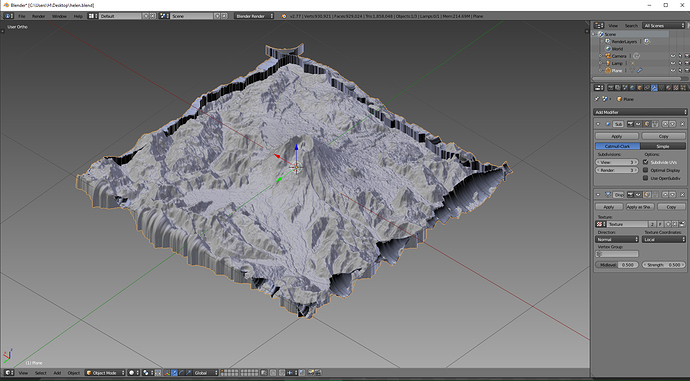
I’m trying to make a 3D model from a geotiff file. I followed this tutorial and everything worked great. The only problem is the model doesn’t have a base. I’ve tried extruding the edges down but then the sides go all crazy like in the pic. Any help on how to get flat sides so I can make a base would be greatly appreciated. Thanks.
Unfortunately site you refer to asks for registration which i doubt i’m willing to get into however there is an addon - python script for direct import of elevation data files, created by Vladimir Elistratov.
If you have gotten SRTM data file(s) (e.g from here) for the region of interest all there is is to click Import button and let the pc to crunch the data.
After you import, scale down (.001 seems reasonable to see one .hgt file in viewport) and border select smaller part in face selection mode, delete the rest, border is completely flat, nothing like in your posted image.