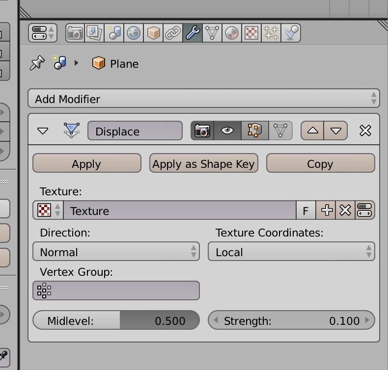
I am making a 3D landscape based on LIDAR height data and aerial photography. I have created a plane and UV unwrapped an png image of an aerial photo onto a plane. I have resized the plane and adjusted the scale of the plane so it perfectly fits my image.
I also have a Digital elevation model of the topography of the area created in GIS. The DEM image is exactly the same size and projection of my aerial photo image - but when I use displace it doesn’t line up.
Alternatively I can put the displace on first to displace the plane. But when I UV unwrap the aerial photo it doesn’t line up again. How can I get them to line up?
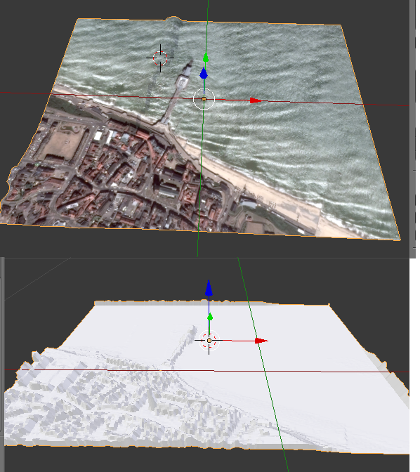
Attached a photo. Top photo shows aerial photo with displace in the wrong place. Lower one shows the displace in the right place before I add the texture. I chose this example because the pier nicely shows how they are not lining up. properly. I have this error every time I try to use two images together.