I’m currently on a journey of re-creating in 3D a province. The location would be used in a MMO racing game I’d like to develop. I’m aiming at 1996 style 3D graphics.
The problem is that I don’t know how to approach this and I need of some assistance, tips or tricks of how to do it.
So I’d like to do various real life locations in 3D and use them for free roam racing.
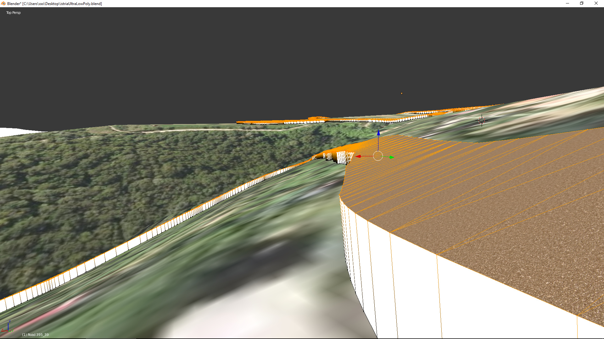
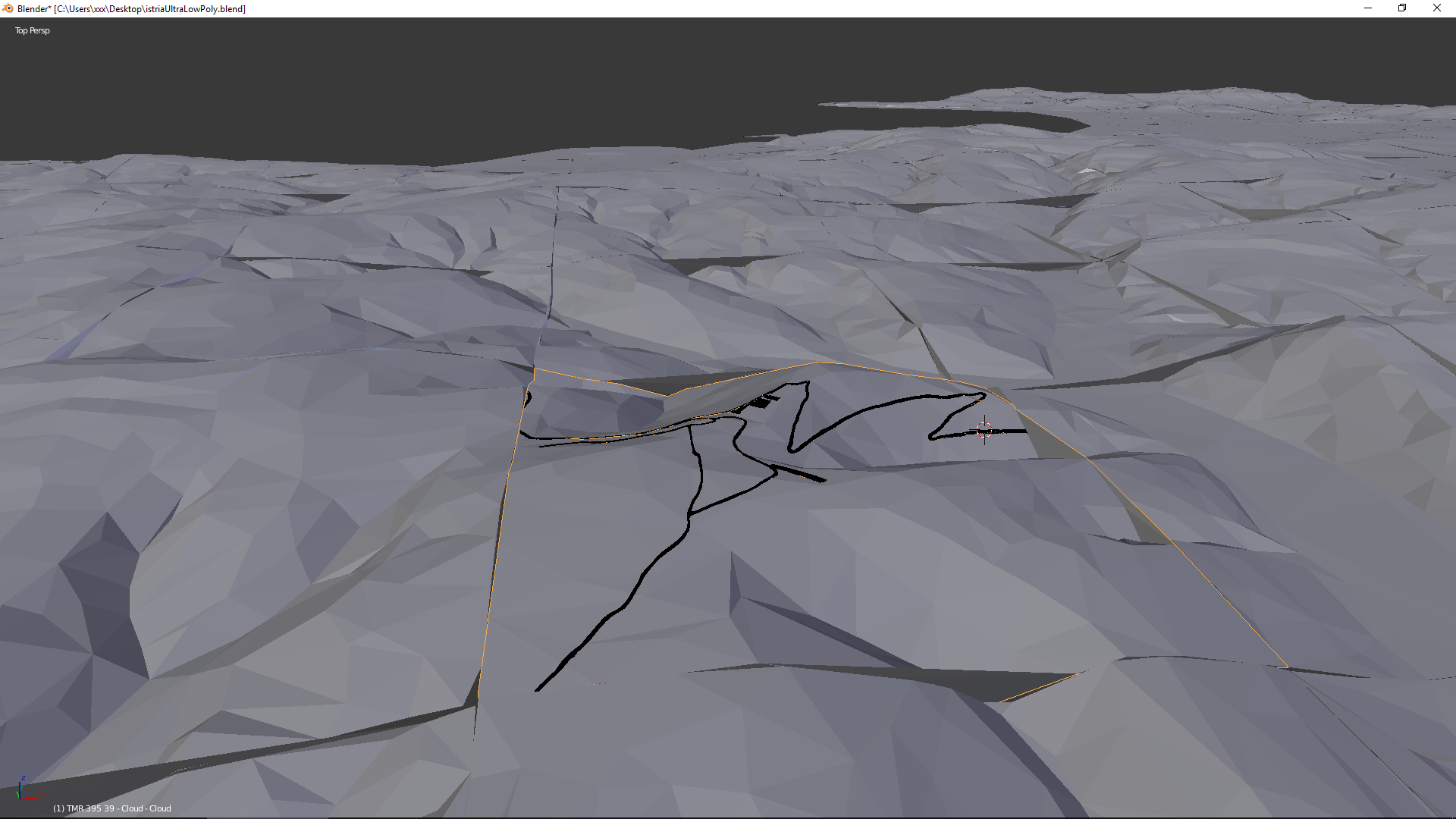
I transform the LiDAR data of my locations from point cloud to 3D… then in Blender I decimate it to a low poly quality.
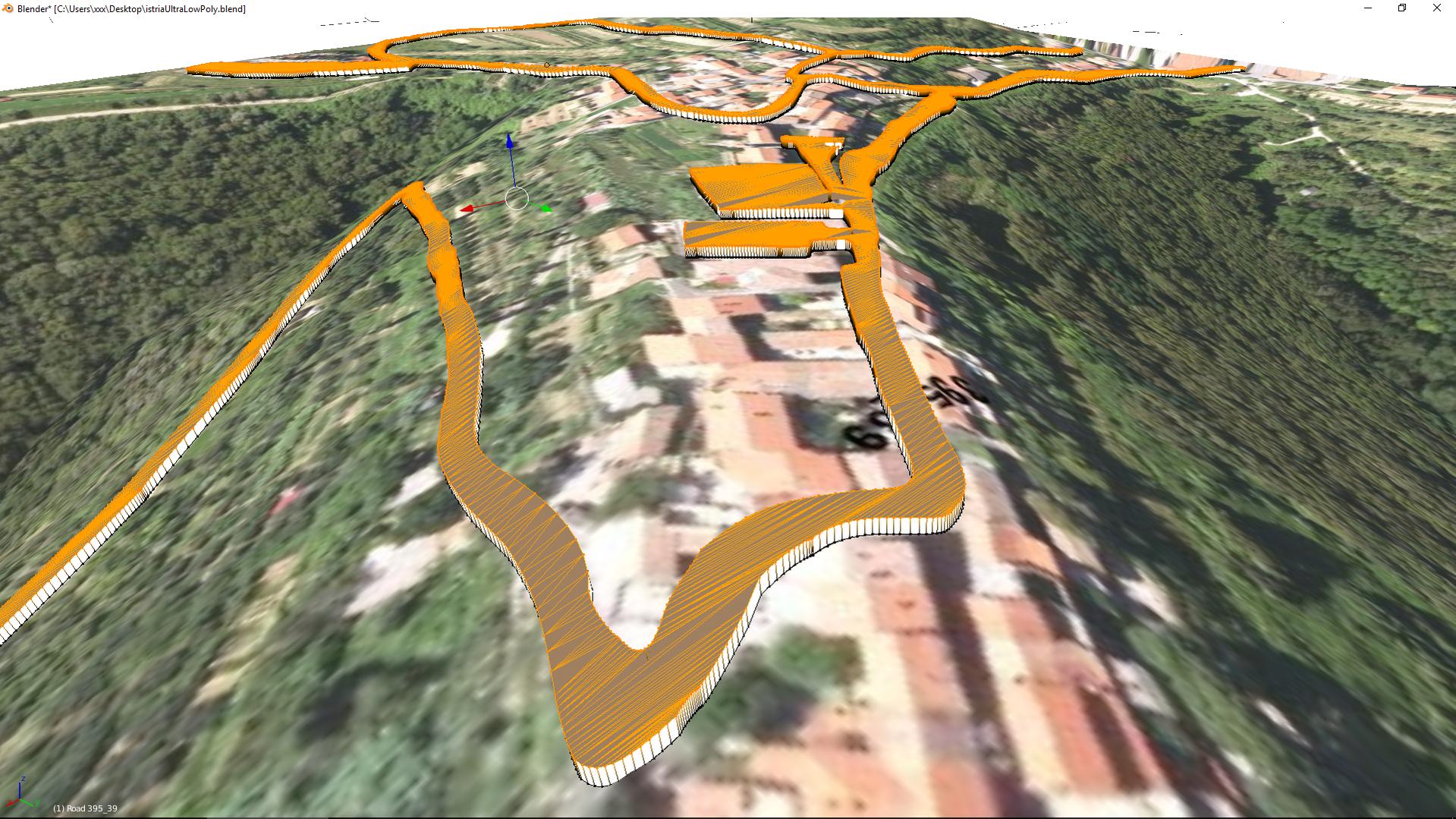
In GIMP I opened the corresponding satellite image of the corresponding square kilometer and placed an alpha channel and only kept the roads I needed. Saved the file and opened it on Ink Scape and made a SVG (scalable vector graphics).
I imported this SVG in Blender and placed it to the corresponding square kilometer. I alligned the roads and transformed the curve into mesh. But here is where I’m lost.
I don’t have experience.
How should I do this? how can I achieve this…
Help me find a way. Show me the way
When I converted the curve to mesh the edges are connected in such a way that I can’t see myself doing detailed UVs on it. Curve array thingy… i don’t know if I can shape the road well with it. Defining the width or the exact shape.
I need peoples opinions. How would you go on about making 200 square km in 1996 gfx 3D graphics?