Forgive me if I use wrong terms here. I am relatively new to all of this.
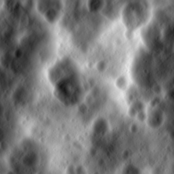
For starters, I have a very large DEM file ( 1.6 GB ) in bigtiff format. I want to create a mesh from this in blender. I am using GDAL to reduce the extent of the file to work with and test. Ultimately i want to be able to build a mesh with the entire file.
From my own research i came across this thread here:
specifically the post by Rorkimaru, the 17th post.
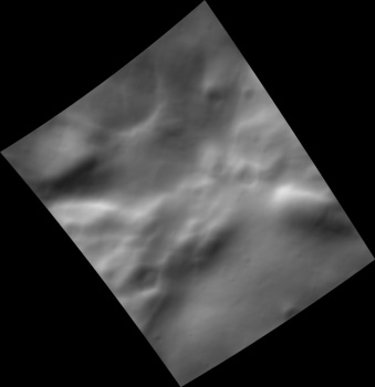
This seems like it may be what i need to do. However, I have no clue what-so-ever how to implement this grouping. I can easily “tile” my DEM into very small pieces. I use the BlenderGIS add-on to load the DEM into blender and triangulate the mesh.
What i need help with is how to group these “tiles” and link to the main .blend. Right now I am not trying to do LOD as this is not for a game. I am rendering a “movie flyover” the terrain.
Thank you in advance. Please let me know if you need further clarification.