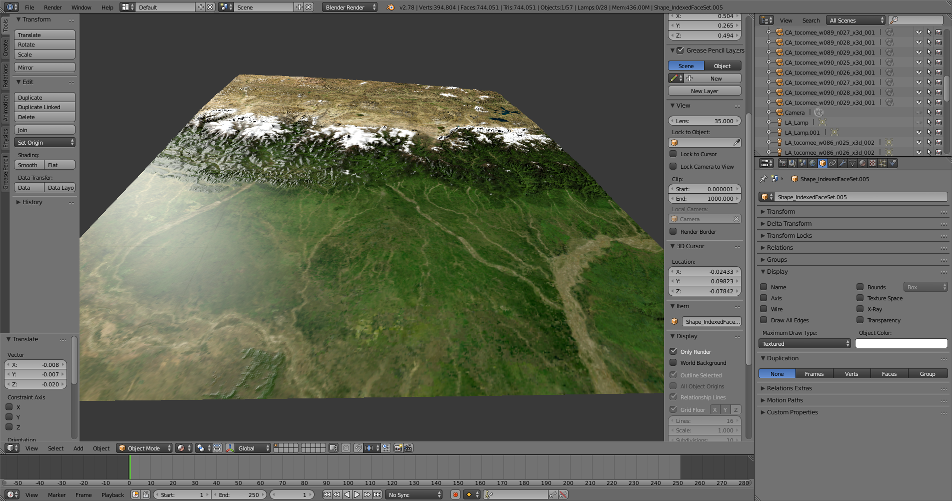
I’d like to announce ‘geoTriMesh’, a Python module I wrote to convert GIS data to Blender. While efforts in this direction have been undertaken, e.g. BlenderGIS, I could not find a way to import more complex geometries like donut-polygons and also add elevation information to the triangulated polygons. This is what ‘geoTriMesh’ does; the topological mesh is created by merging coordinate/vertex information with elevation and color data. The result written to X3D to be imported by Blender.
It’s free (Apache License) and available as Python Module (also installable via pip) as well as QGIS Plugin:
Also, I used the library to create a global elevation mesh dataset (spherical and flat projection), which can be downloaded here and used for private and commercial purposes (CC-BY license): http://flatpolar.org/tocomee.html
Ah yes, this error occurs when you click on the ocean areas. The DEM tiles are only available for land. I will mark the water areas to indicate that they are not downloadable and make the error page a little more informative. Thanks for the hint.