This is a 3D Model of Mount St. Helens. To create this, I downloaded elevation data (1/9 arcsecond) and satellite photos (1 meter resolution) from nationalmap.gov. I used ArcScene to convert the elevation data (.adf arcGRID format) projection from NAD 1983 to UTM Zone 10 and to resample the data to a usable resolution (1/3 arcsecond, or 35ft/10.9m). Then I used Mathematica to plot the resulting point cloud in 3D space. Next, I utilized the Ball-Pivot Surface Reconstruction algorithm in Meshlab to skin the point cloud. I used Photoshop to manually stitch the orthoimagery (satellite photos) and Blender to UV Map/Light/Render/Composite it. The model itself has 4.7 million triangles and covers an area equal to about 68 mi[SUP]2[/SUP] (176km[SUP]2[/SUP]). The image texture has a resolution of 14248*12812. (You can breath now).
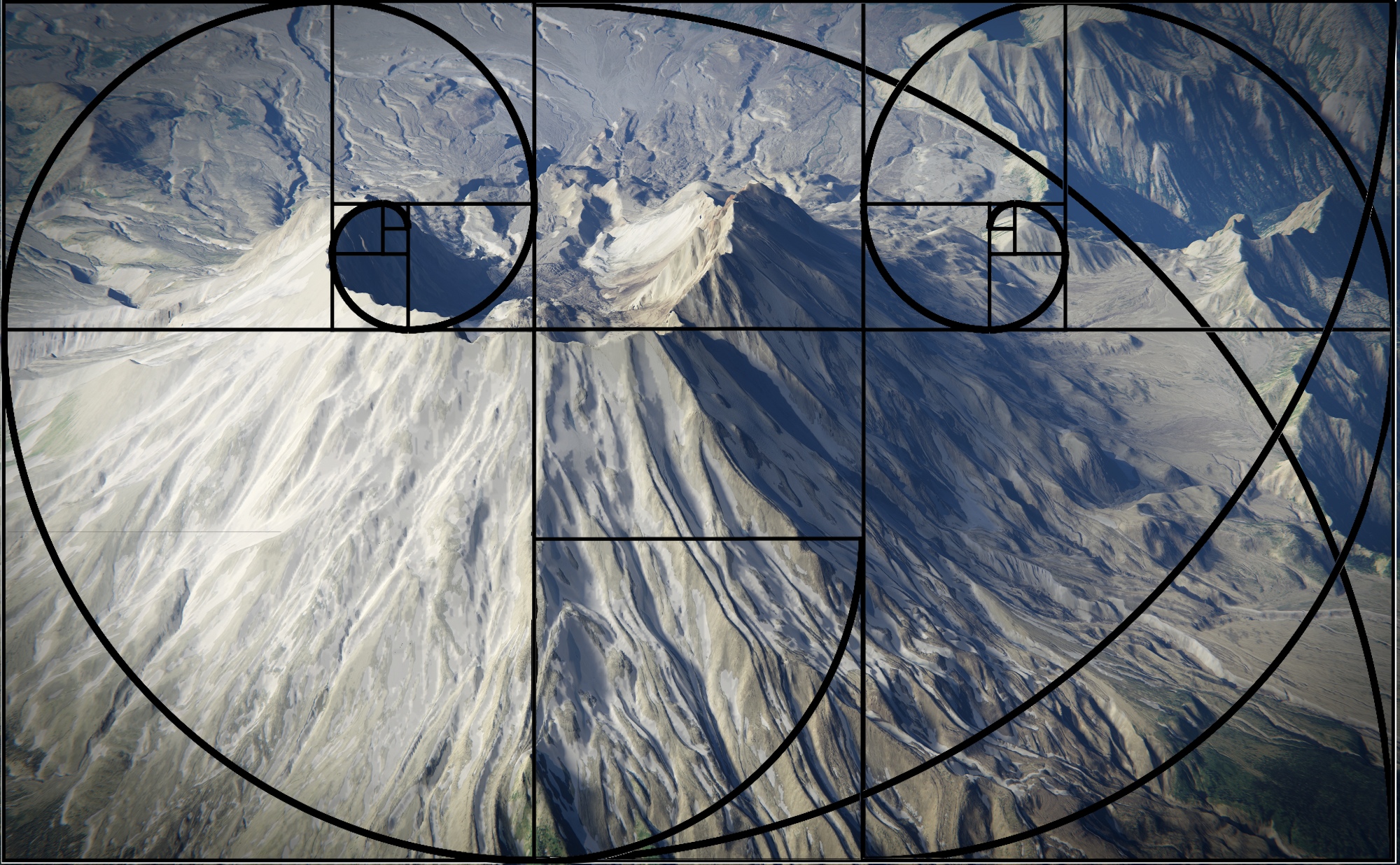
The goal of this piece is to be photorealistic, but simultaneously surreal and grungy, like Tears of Steel. However, Blenderartists and the rest of the internet have a gallimaufry of photorealistic artwork, so I wanted to try something different and unique. To create an interesting composition, I used golden spirals. More specifically, the aspect ratio of this piece is the golden ratio (1.618:1), and the composition of the piece is full of hidden spirals. (See second attachment.)
Anyway, do you guys have any feedback for me? Be absolutely brutal, I WANT harsh, honest feedback.