ThomasKole
September 16, 2021, 8:56pm
1
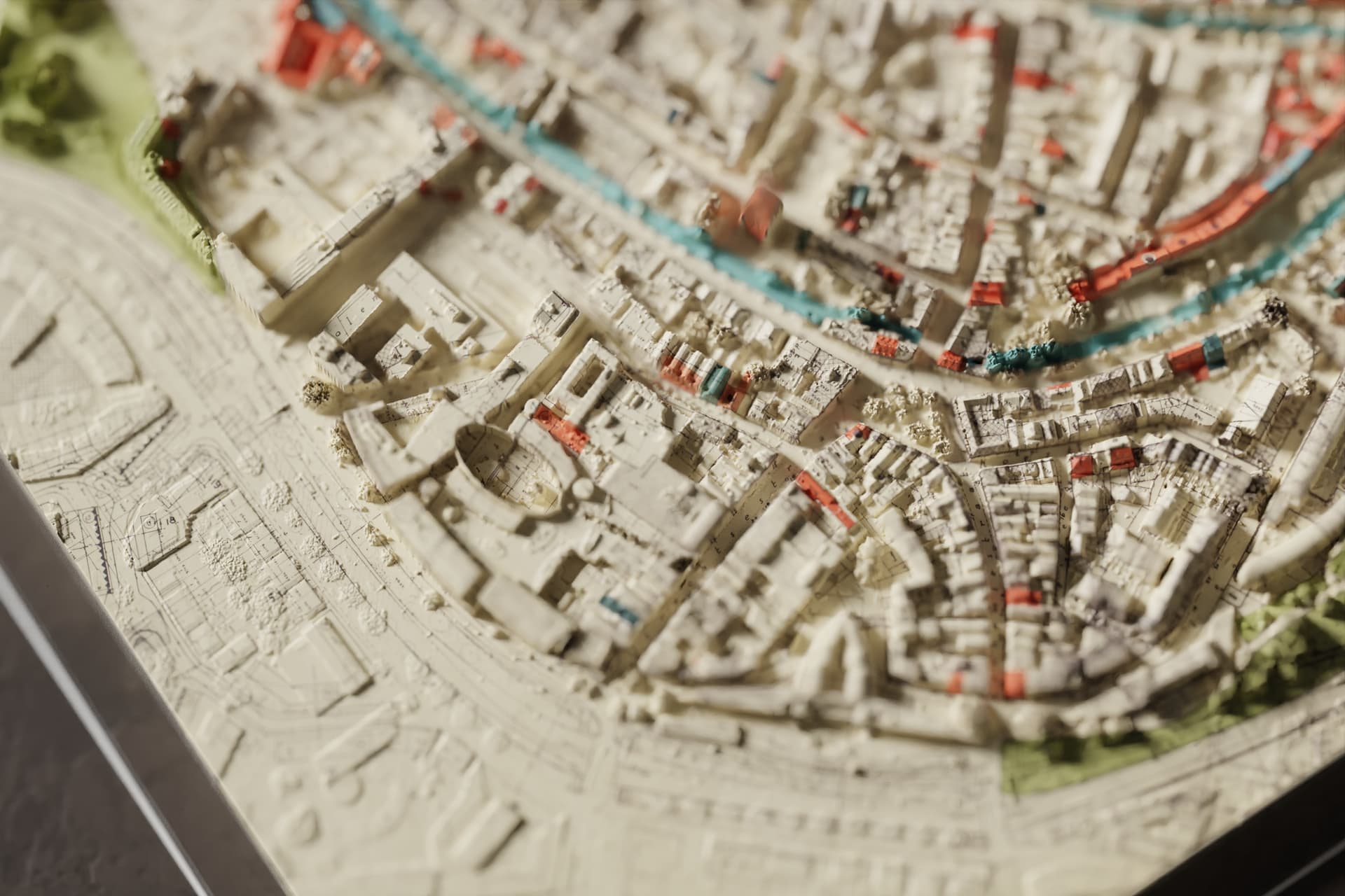
A render of the city center of Amersfoort, right in the middle of the Netherlands.
A historic map is superimposed onto modern height data, showing the difference between what the city looked like in the 50’s vs now.
The off-white color of the map gives the render a paper etiquette look.
Render engine: Cycles with Optix for denoising
12 Likes
bartv
September 16, 2021, 8:59pm
2
Hey, that’s where I live!
ThomasKole
September 16, 2021, 9:01pm
3
I’ll be moving there soon
1 Like
bartv
September 16, 2021, 9:02pm
4
Good choice
ThomasKole
September 16, 2021, 9:07pm
5
The height data is from the AHN3 (Actueel Hoogtebestand Nederland), and the map is from the Eemland archive. They line up so well because… I guess they were pretty good at making maps in the 50’s. I just had to gently nudge some UV’s around, to make it fit perfectly.
2 Likes
bartv
September 17, 2021, 7:52am
6
I featured you on BlenderNation, have a great weekend!
1 Like
ThomasKole
September 17, 2021, 12:36pm
7
Thanks Bart,
bartv
September 24, 2021, 7:44am
8
I featured you on BlenderNation, have a great weekend!


 Very nice - why did you decide to use Amersfoort for this project?