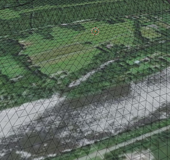
I’ve imported some terrain from SketchUp with satellite imagery.
I need to do a few things:
-
“Carve out” and adjust the heights of a few areas such as canals and other waterways, as well as some low shorelines. (I tried the knife tool, which is kind of hard to control over such a large area)
-
Designate areas for vegetation… and get some vegetation in there… (I’m currently looking at a bunch of vegetation tools, but am assuming I’ll need something that can adjust LODs?)
Can you recommend any good ways of doing this?