Hello,
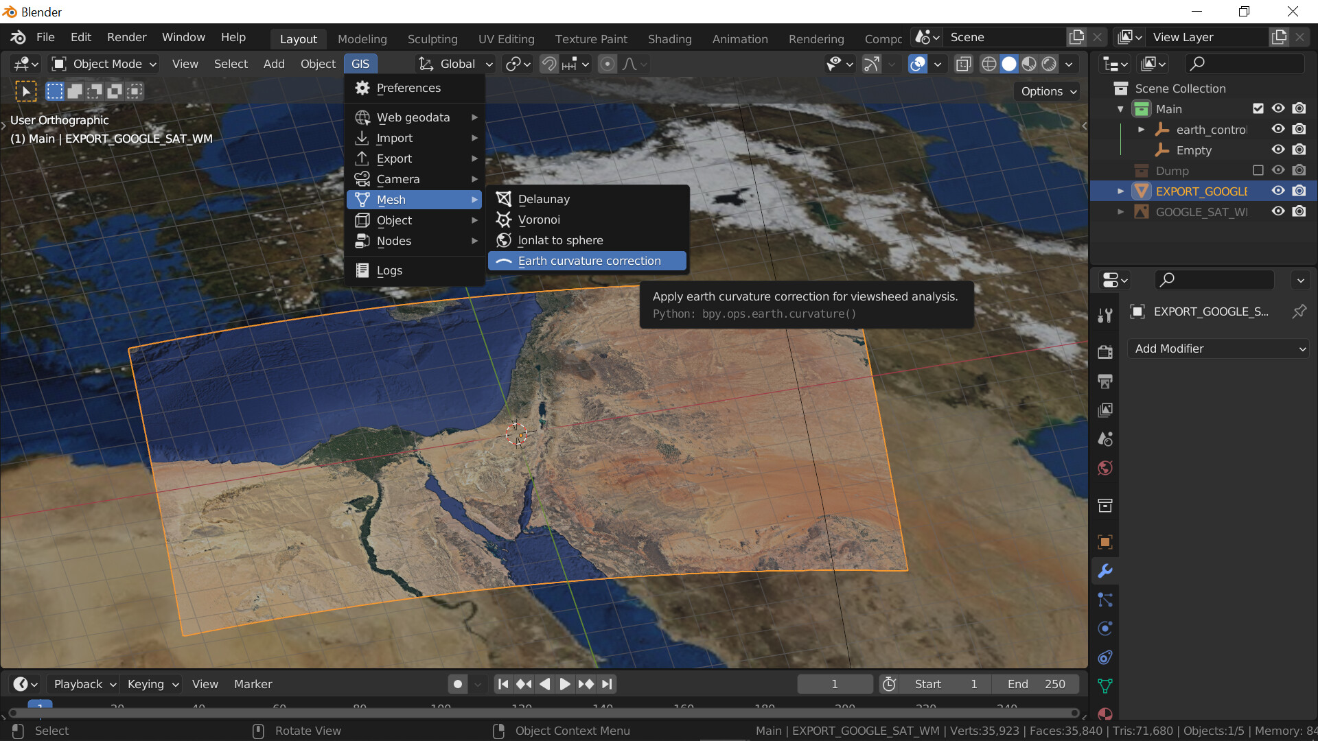
When using the blender GIS addon to import google map locations as basemaps, the base map is added to the scene as a flat plane with the appropriate geodata texture.
Is it possible for the basemap to be mapped instead to a curve surface since the earth isn’t flat? maybe some kind of coordinate system needs to be changed? Is there a way to do this currently?
+1 for this ![]()
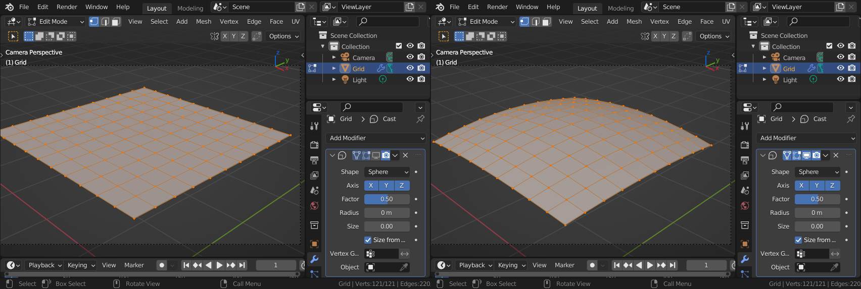
Interesting question… this would be only of interest if you are planning to make same very big camera flight so that the curvaion of the horizon get’s visible… IDK if the dimension could fit but a cast modifier (to sphere) may help…:
2 Likes
I read just now that:
The Earth curves about 8 inches per mile
I don’t know how accurate that is, assuming it’s true, that 8 inches per every 63360 inches, or .0126% curvature. If OP is working at a 1:1 scale, where 1 BU = 1 meter, then 1 BU square = 0.000621371 of a mile. There are 1609.34 meters in a mile, so the cast modifier factor would increase by .000126 for each 1609x1609 Blender Unit area
1 Like