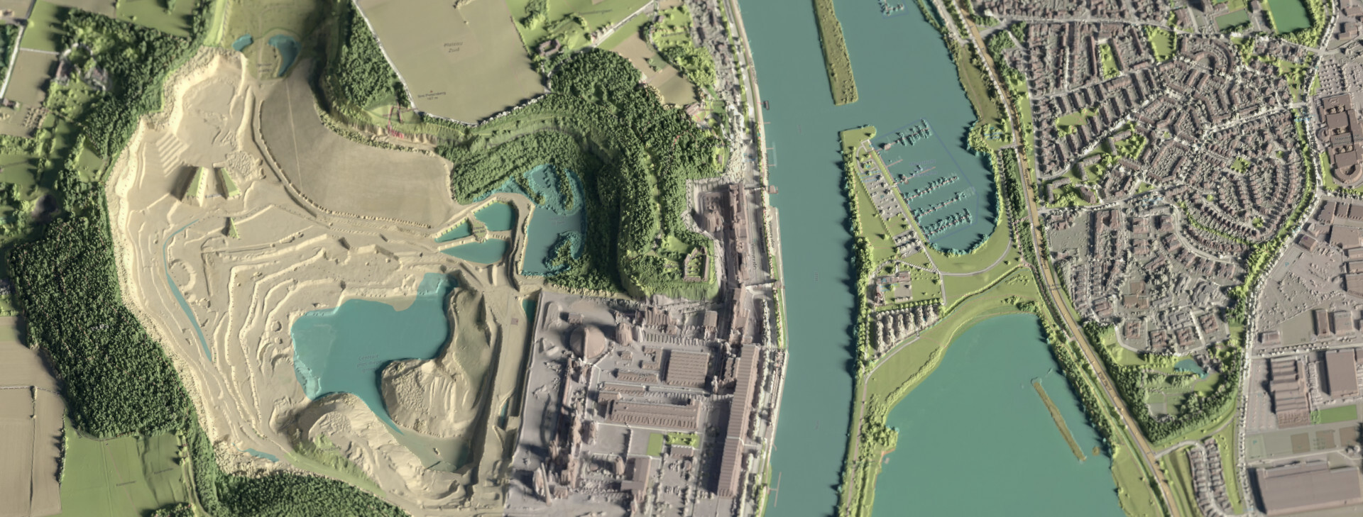
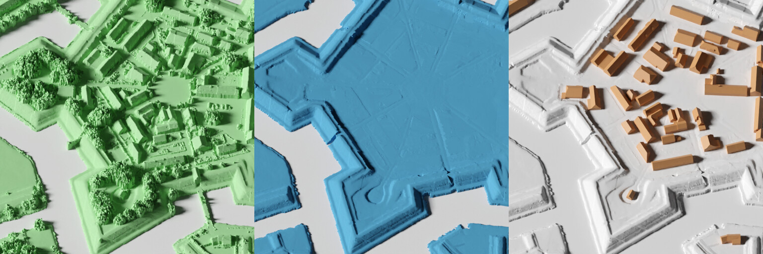
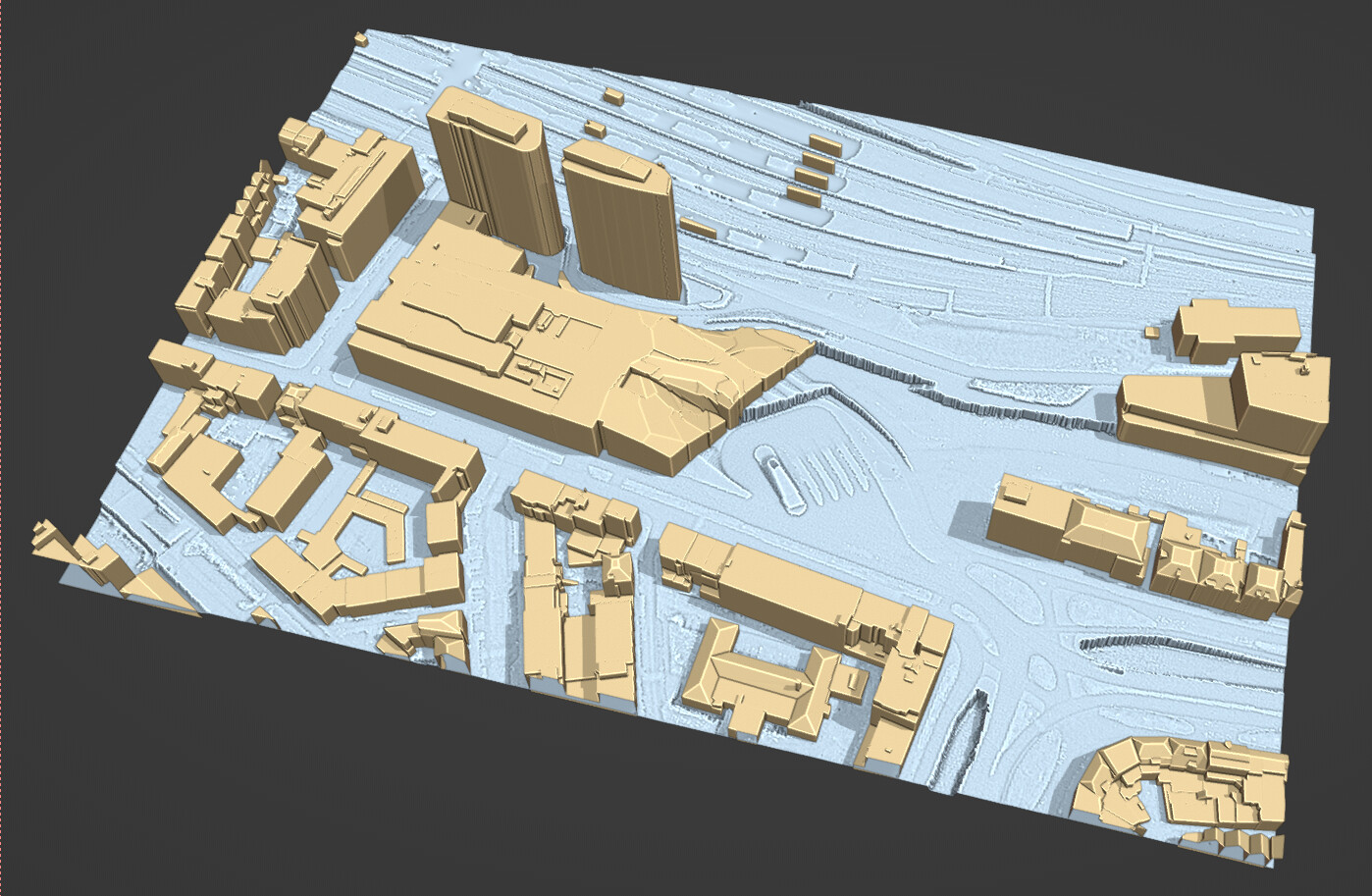
I’ve been experimenting with a way to automatically get high quality 3D information of the Netherlands into Blender.
You can choose from 3 different types of data:
A raw heightmap (with buildings and vegetation), a heightmap of just the terrain, and 3D buildings.
(AHN3 DSM, AHN3 DTM, and 3D BAG)
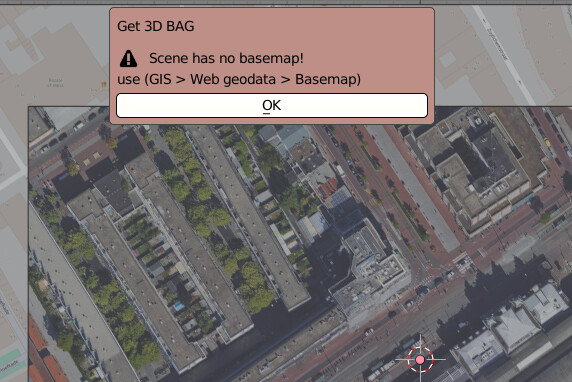
Thank you for this interesting add-on! To my regret I get the following message:
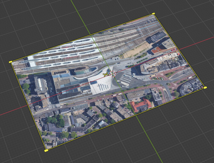
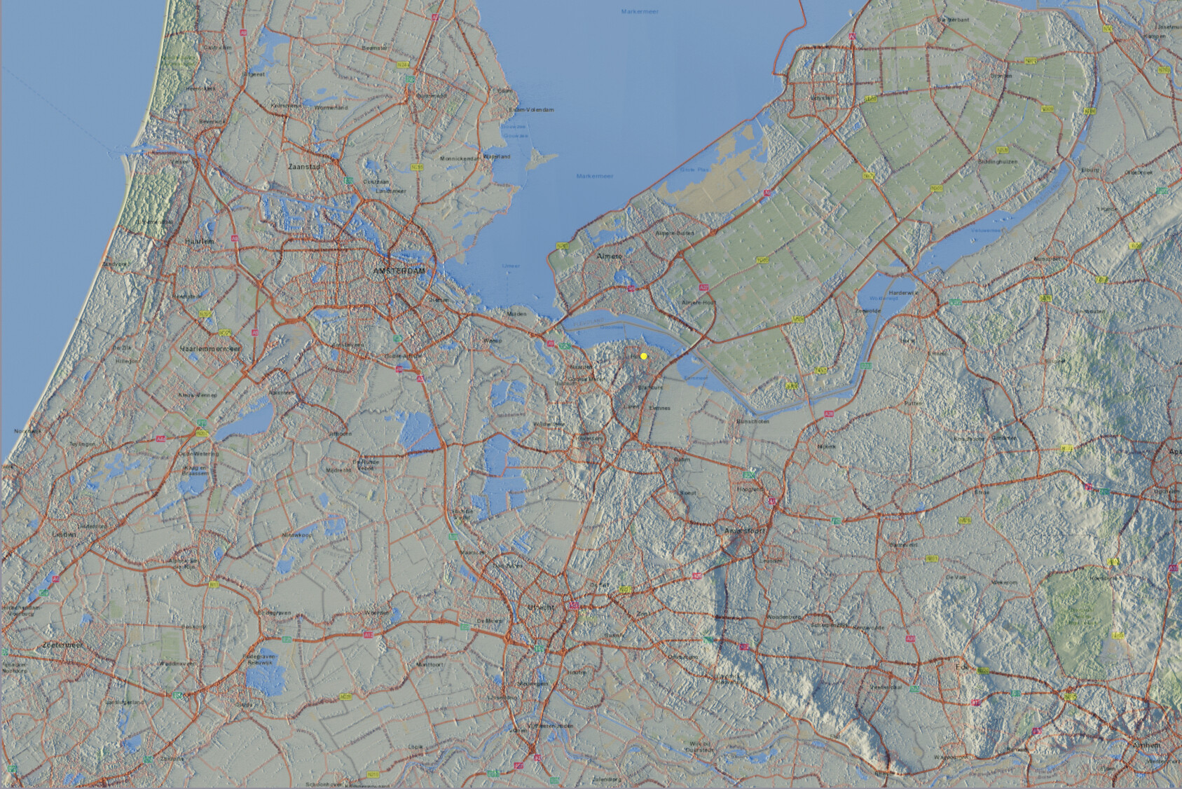
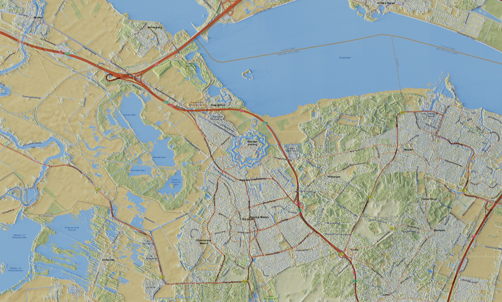
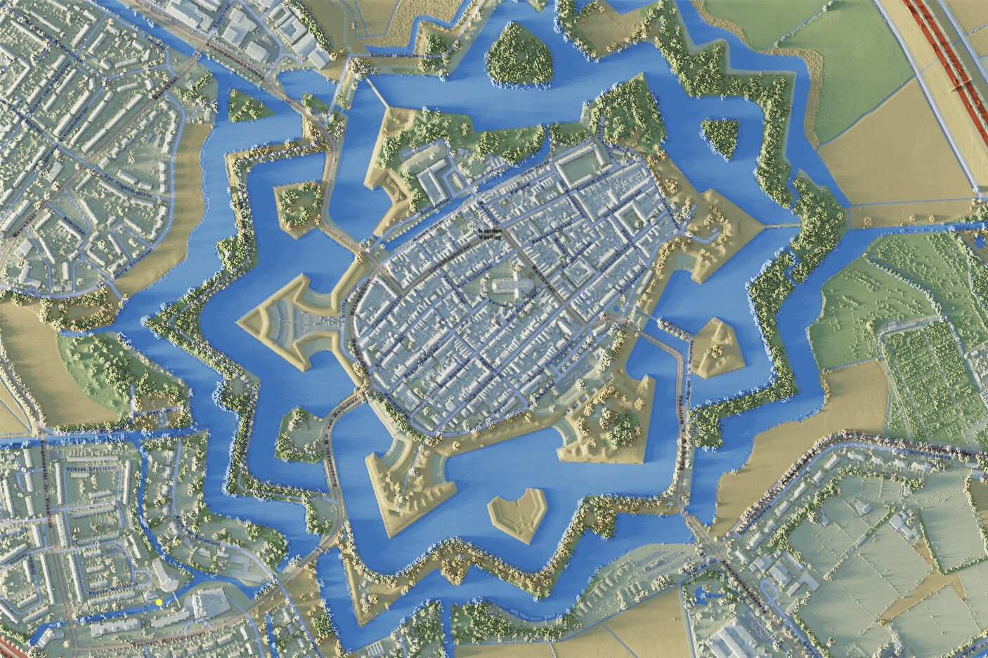
As you see in the background there is basemap, or I am doing something wrong. Please can you have a look at it.
This is a bit impractical, but you have to exit the basemap fetch mode with [escape] rather than [e]. This creates an Empty with an image, rather than a geometry plane. Sorry of the confusion!
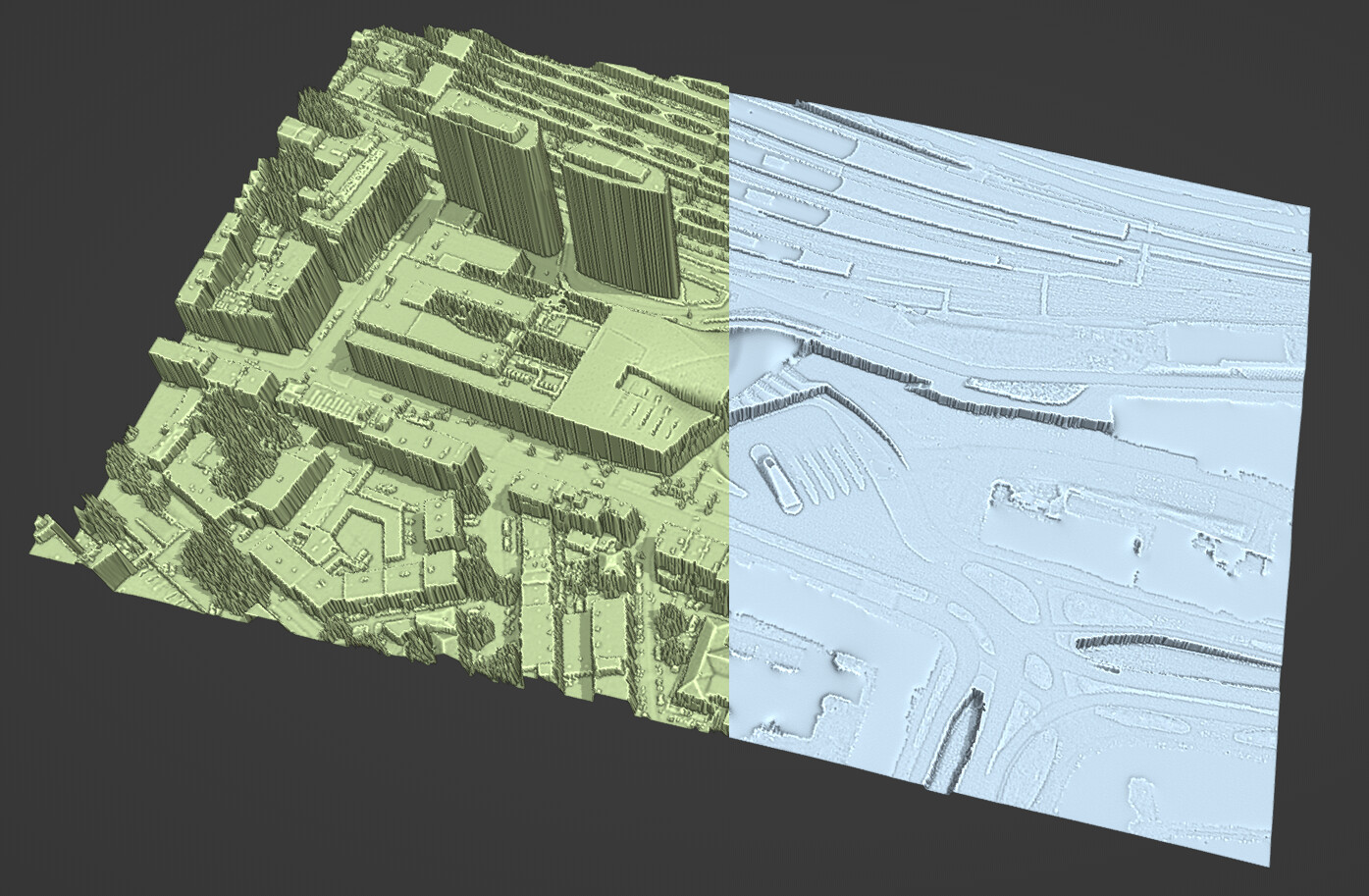
Hey, looking awesome!
Unfortunately It does not show me the AHN heights, any ideas? (also for me only the ‘‘blenderGIS-master’’ zip worked, the rest same as above
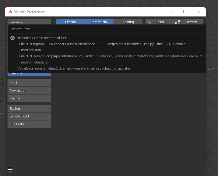
Weird, I can install it no problem.
Did you first try to install Blender GIS, and then the Hoogtedata addon?
What blender version are you running?
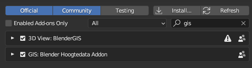
And are they enabled like so?
Error: Python: Traceback (most recent call last):
File “C:\Users\XXXXX\AppData\Roaming\Blender Foundation\Blender\2.93\scripts\addons\blender-hoogtedata-addon-main\op_get_ahn.py”, line 533, in execute
alpha = local_pixels[get_pixel_at(int(vx), int(vy), w, h)+3]
IndexError: list index out of range