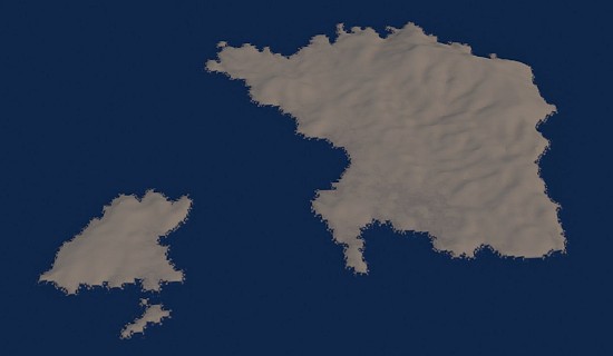
I used Terrain party ( http://terrain.party/ , each block is 2x2km real life size if zoom is set to “18km”) to download terrains for Cities Skylines and I suppose that it should work for Blender too, I got a heightmap of Psara island in Greece, but I don’t really know what to do with it next.
I know that there’s a tool somewhere, displace I think, that adjusts the height by heightmaps, but I don’t have the heightmap texture shown as an option in the displace modifier for some reason, even though it is present as a material texture for the plane object I tried modifying, so can someone please make a real life size Island out of the heightmap? (with a step by step tutorial of a sort)
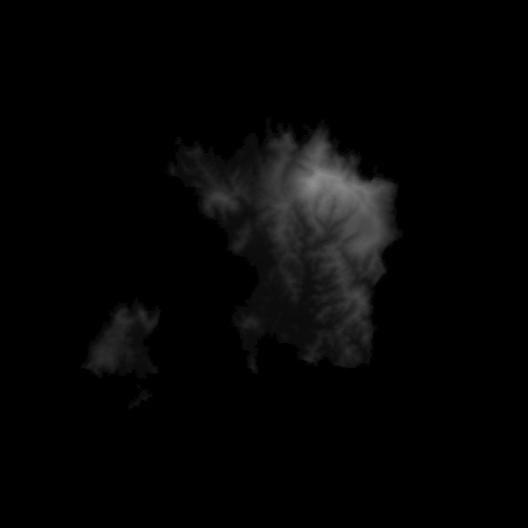
The heightmap is 18 km x 18 km and the highest point is 531 meters. I don’t have a Blend file since I only made a simple plane object subdivided a bunch of times that didn’t have the heightmap appear in the displace modifier, so it wouldn’t be of any help either, I deleted that, but if for whatever reason someone needs that, I can make it again.
Next step after the Island is created is that I need a satellite imagery over it, I could do that using Unity with the world composer addon and have both terrain and satellite imagery automatically, but that depends on Bing map service and I don’t want to depend on all that stuff.