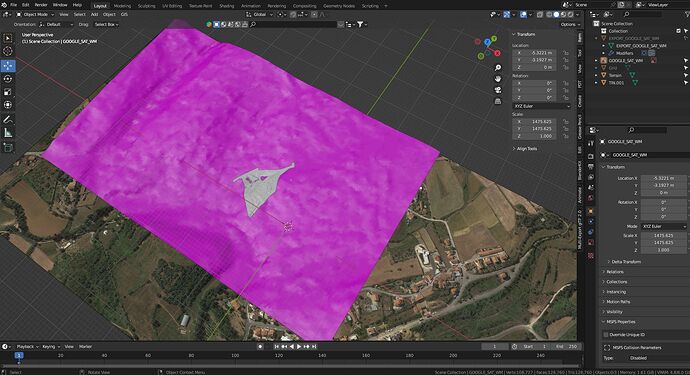
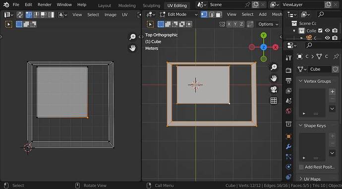
I have got this project, the image is a satellite picture that came from Blender GIS. The rose terrain is a moderate quality terrain, the white grey terrain is a more detailed terrain. I have them matched to the picture.
I want to have them textured with that satellite picture respecting precisely their current positions like if it is just a projection upwards at 90º. Any idea?
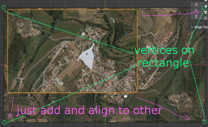
I guess the original satelite terrain has just a projected from top UVmap… so you could just add up to four vertices for the pink and the white object aligned to the edges of the original object (so having the same bounding box in X-Y-plane) and than just project from view (bounds) using the top view… and using the same image…
The satellite is not a terrain only an image
Even better… just align the vertices to the rectangle vertices…
This reply to a previous question might be some help - using UVProject modifier to apply a single texture to multiple objects.
You can use a different camera for the projection than the one you use to render the scene. In fact you don’t have to use a camera, any object will do but using a camera is more intuitive
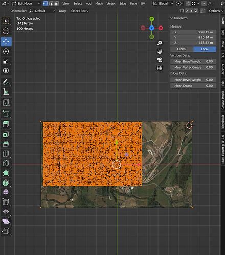
Still struggling with this, @Okidoki option did not work for some reason, project from view just exploded the mesh. The @anon12677551 i could not get a good match of texture from camera to the current map.
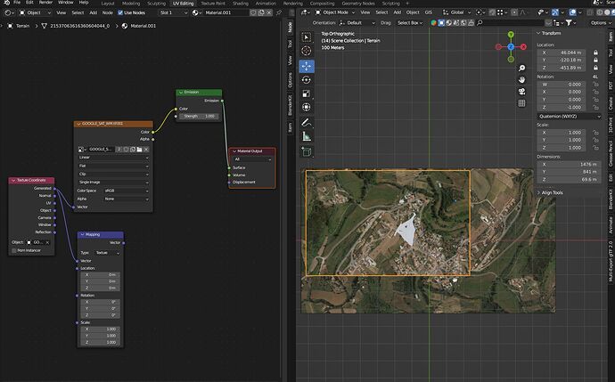
I tried getting texture coordinates in shader editor and it appeared to show the texture at correct scale but with incorrect orientation. I tried to use a vector node to change rotation but it does not work well. The texture appears inverted in up/vertical plane.
I confess my vector knowledge has being going down since Softimage years more than 10 years ago.
Thanks i will try that ones
