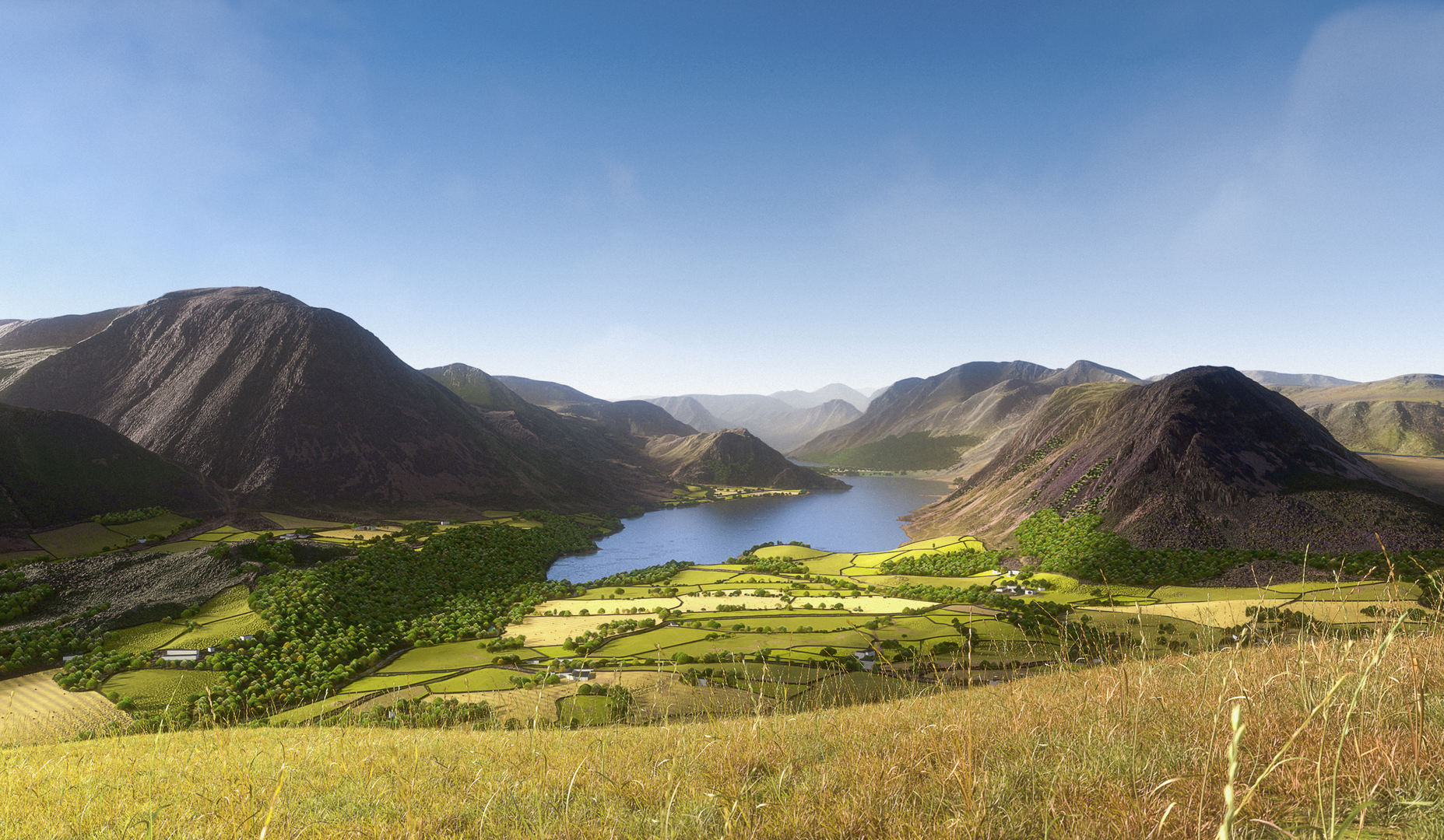

A WIP thread has been running elsewhere, but I’m calling this particular scene done. I doubt it will capture the imagination, but after taking 7 hours to render I’m flippin’ well going to upload it ![]()
This is what I might refer to as ‘data driven art’ as it uses real topographic data, along with real cartography and land cover data, to ensure there is a degree of accuracy in the image. I much prefer the ‘painterly’ version as it helps reduce the obvious fakeness of the ‘original’. I have neither the skill, patience or equipment to even attempt something truly ‘realistic’. One day, perhaps!
For those unfamiliar with the English Lake District, this is an image of Crummock Water. The viewpoint is from Low Fell. The inspiration was taken from this chap’s photo: https://www.flickr.com/photos/tall-guy/50100014291/in/faves-43531053@N00/ (and from this you can see how far I have to go - but still fairly happy that you can tell where this is!!?)
