Hello !
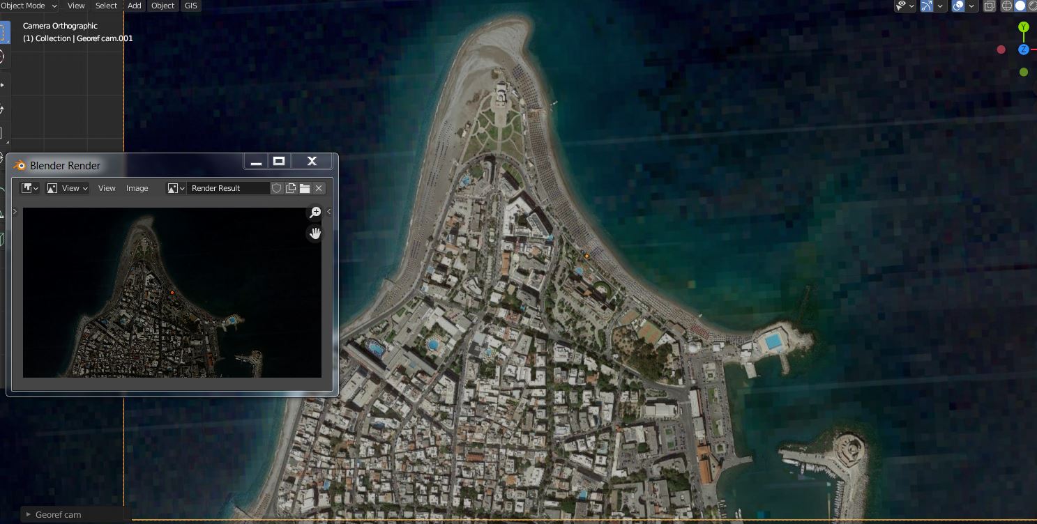
Please, i’m having troubles to find out how to get a correct output for the maps generated by GIS, for terrains from satellite datas.
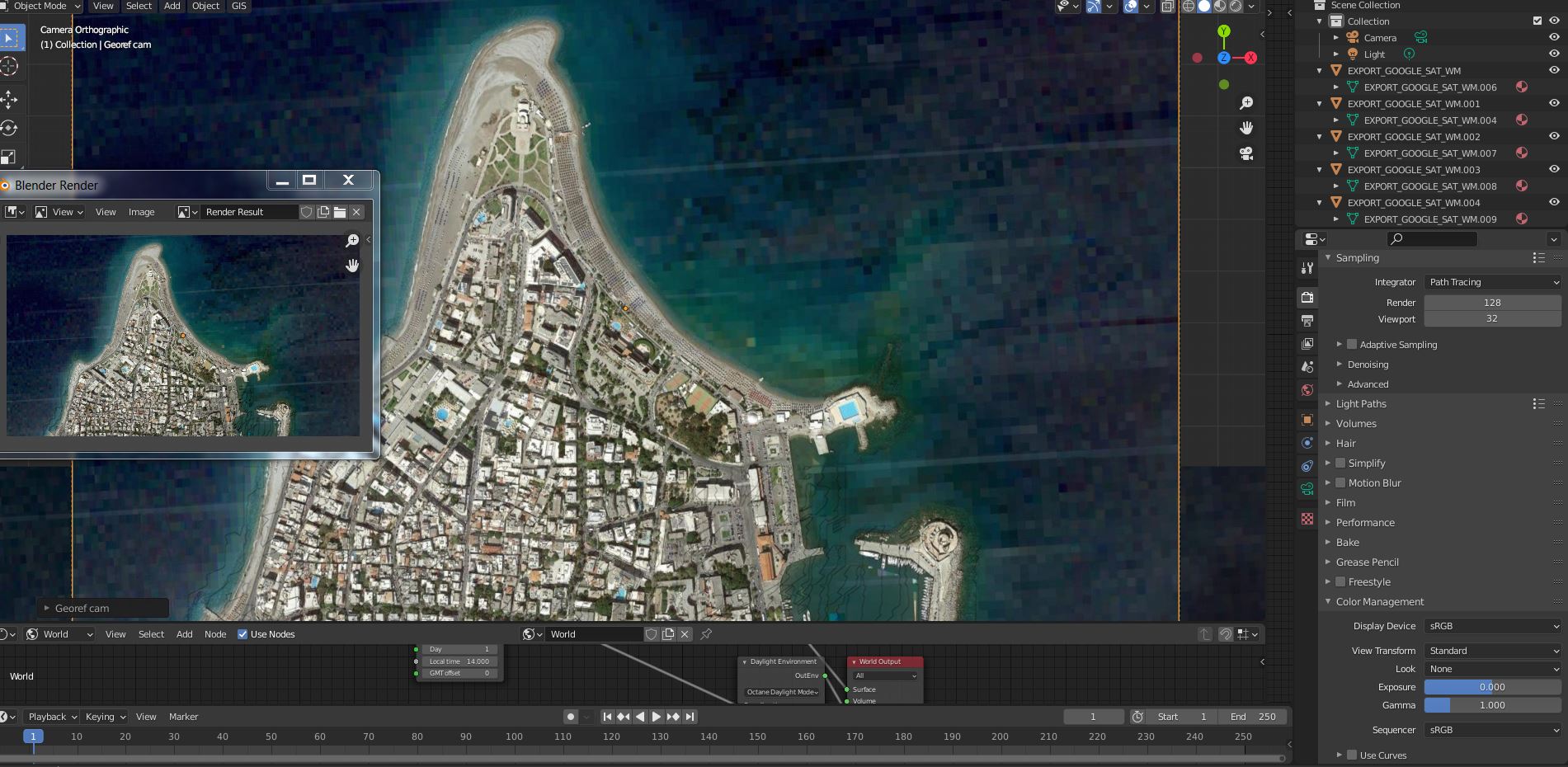
it displays correctly, but when i go to View > Viexport render image, it comes out very dark compared to what’s on the screen, and i couldn’t find how to have the same exposure and color profile.
any idea please ? here you can see both.
trying to play with the viewport shading > studio / matcap / flat seemed to affect the output a bit, but it’s still not right.
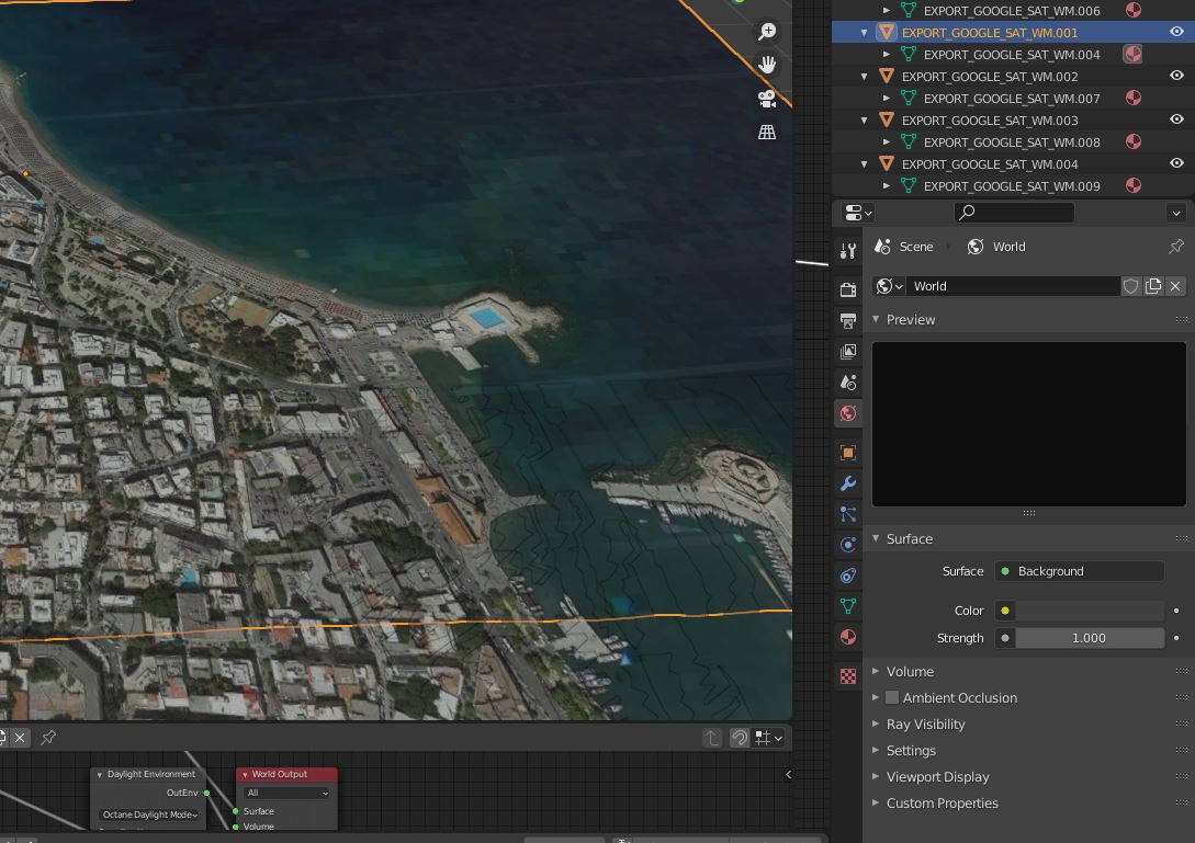
If it’s just an image, set your material shader to Emission Str: 1 and your World to 0. In your Render Properties your Color Management must be Standard with none look.
Thank you Lucas !
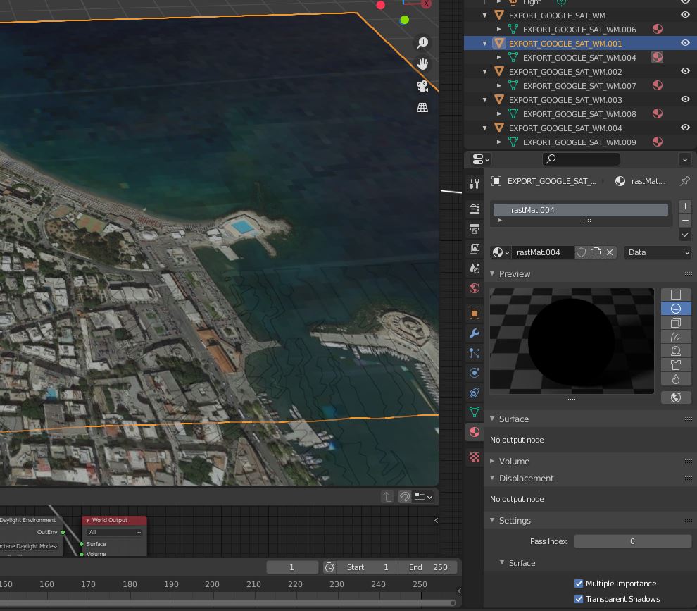
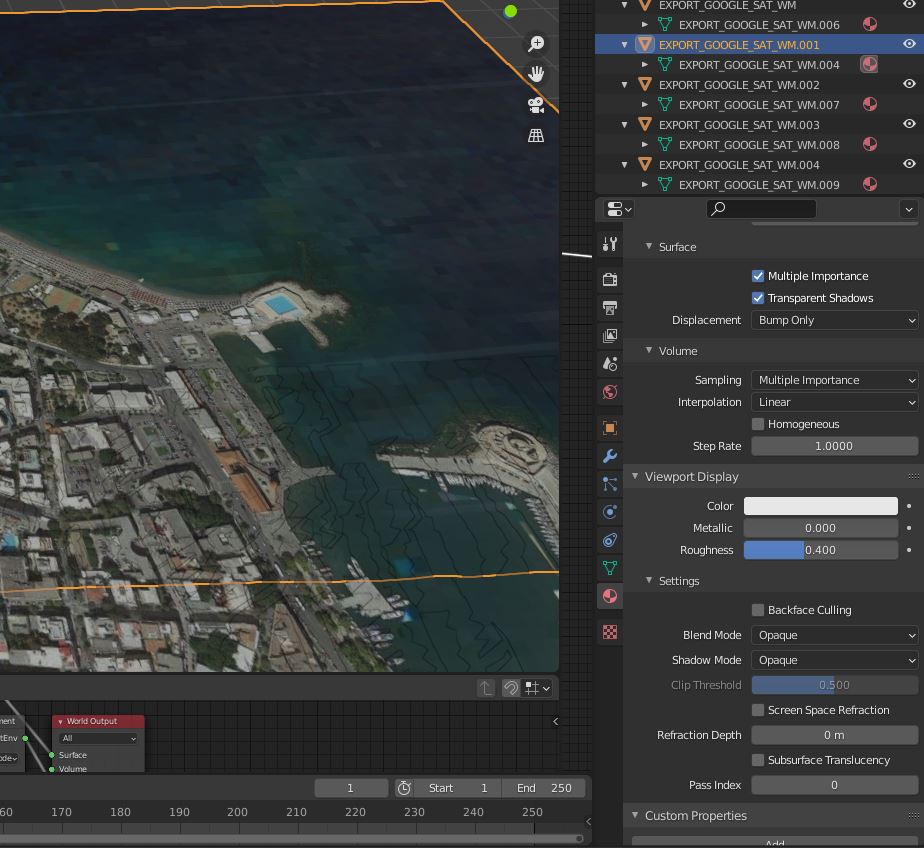
Well, i don’t see “material emission” in the settings.
Evee is selected ( previously octane was selected by default ) .
and i don’t find “world” as well. i’m quite a beginner …
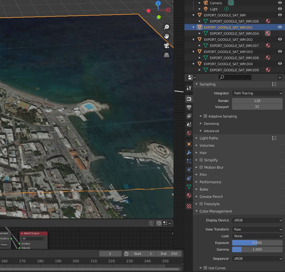
here are the settings i found :
![2|570x500]
EDIT : changing the render from Raw to Standard changed everything !!
i guess my other settings are wrong, but at least this one made the render look just as expected !!!
Thanks so much !!!