This is one of my regular attempts to portray somewhere real, using LIDAR data from the Environment Agency; albeit in this case, the topography is secondary to the main feature which is the Monsal Head viaduct in Derbyshire, England (my home county and a place I’ve visited many times). It is quite a famous railway viaduct, which is now used as a pedestrian and cycle trail (https://en.wikipedia.org/wiki/Monsal_Dale). As usual, I have taken some liberties ‘artistically’ (ie lack of ability, lack of patience, lack of VRAM, lack of inspiration, lack of assets) but I think I’ve captured the ‘essence’ of the place. Also, as usual, I have used PS to create a more painterly feel, as I can’t seem too quite do realism and I quite like the effect. However, some ‘photographic’ renders are uploaded for completeness (the DOF I’ve used might give those a slight tilt/shift miniature model vibe that I’m quite happy with).
The most famous shot of the viaduct is always taken from the top of the hill looking down… however, I have avoided that as my PC would scream at the number of trees needed!! You will see, if you follow the above link, that the main part of the structure does use a load of different brick types, which is a bit odd (I assume its all down to repairs and a lack of interest in aesthetics). Gives it a bit of character though.
I may upload some other angles if I can be bothered, or some other versions if I get any feedback on how to make better and more interesting (so finished, but with some scope for progress). Comments always welcomed, but please #bekind (I just do this for fun).
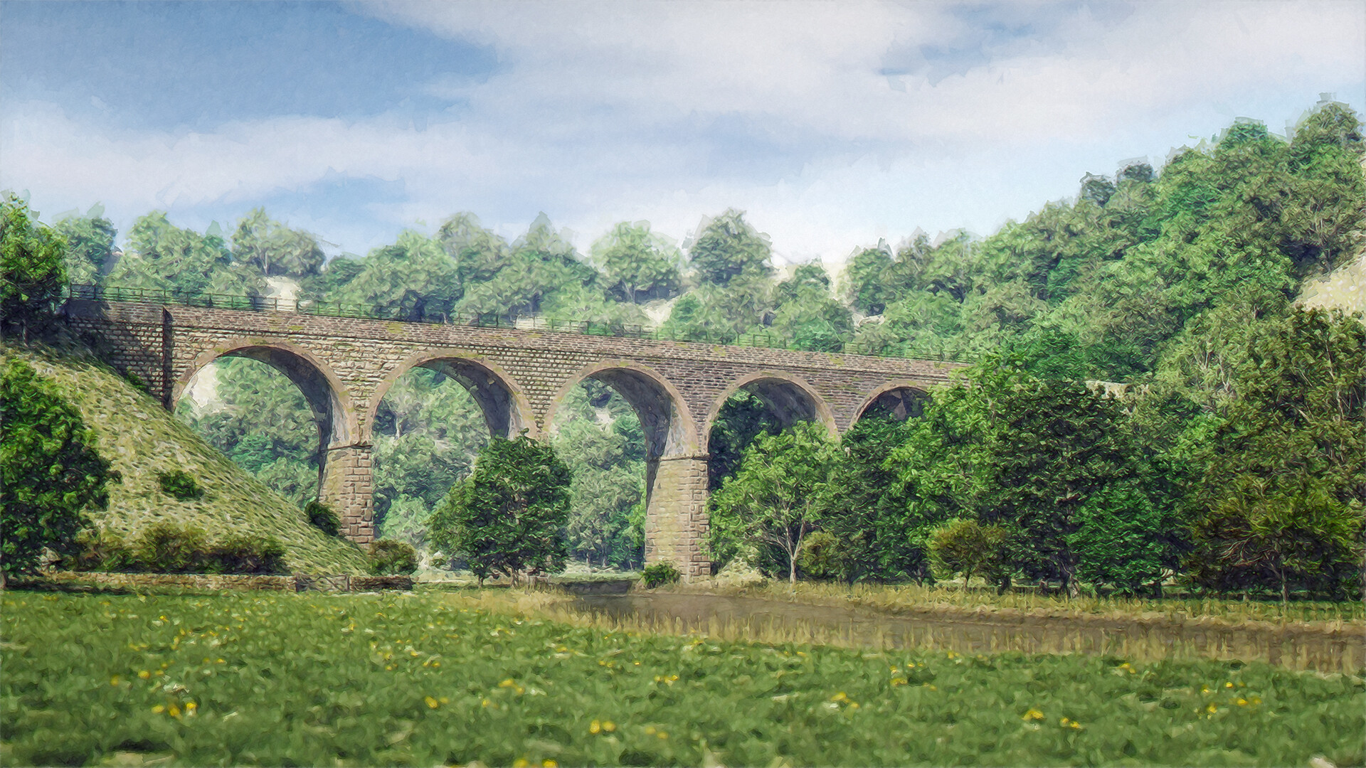
Main shot - painterly

Main shot - normal render
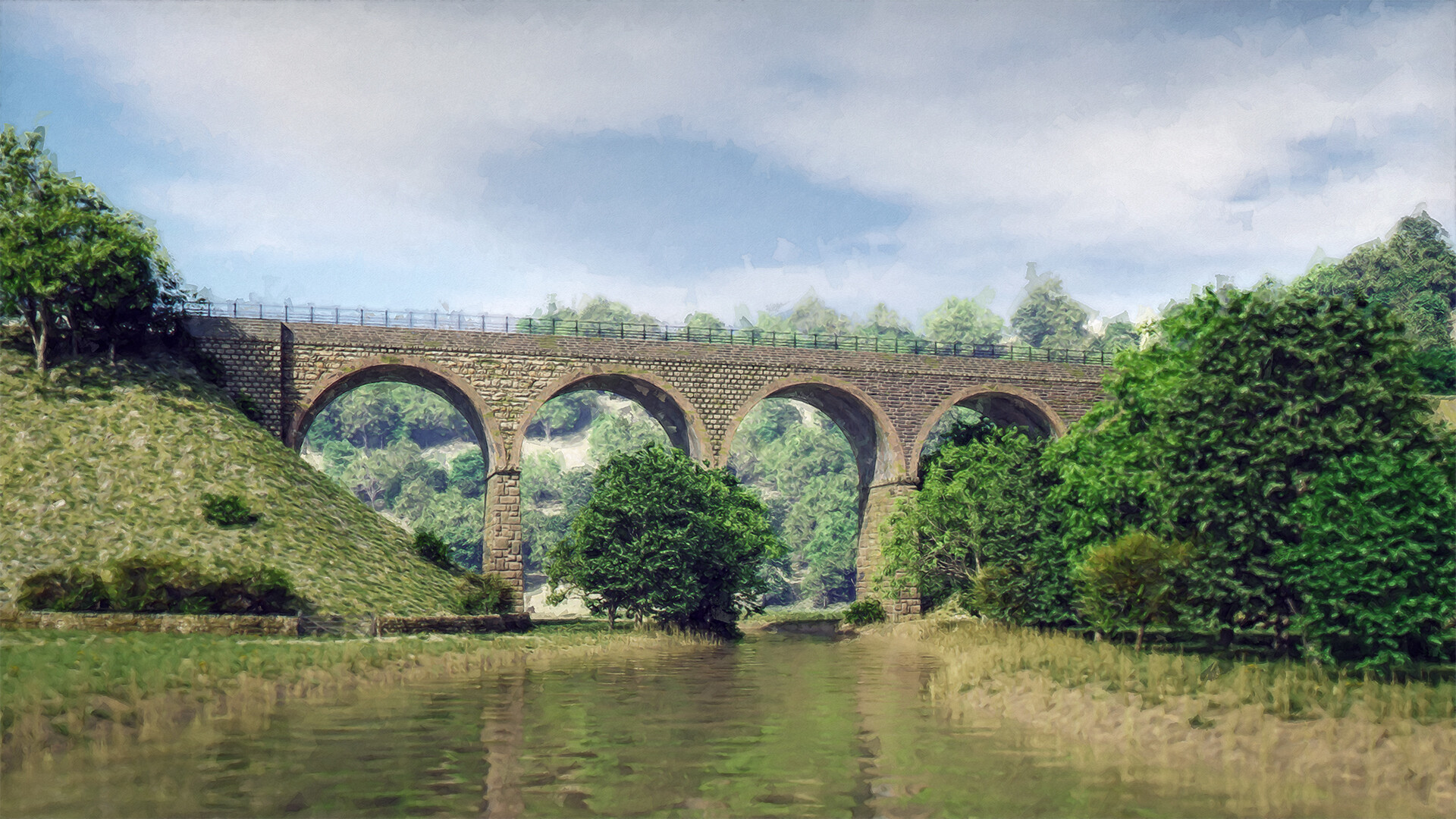
Alternative - painterly

Alternative - normal render
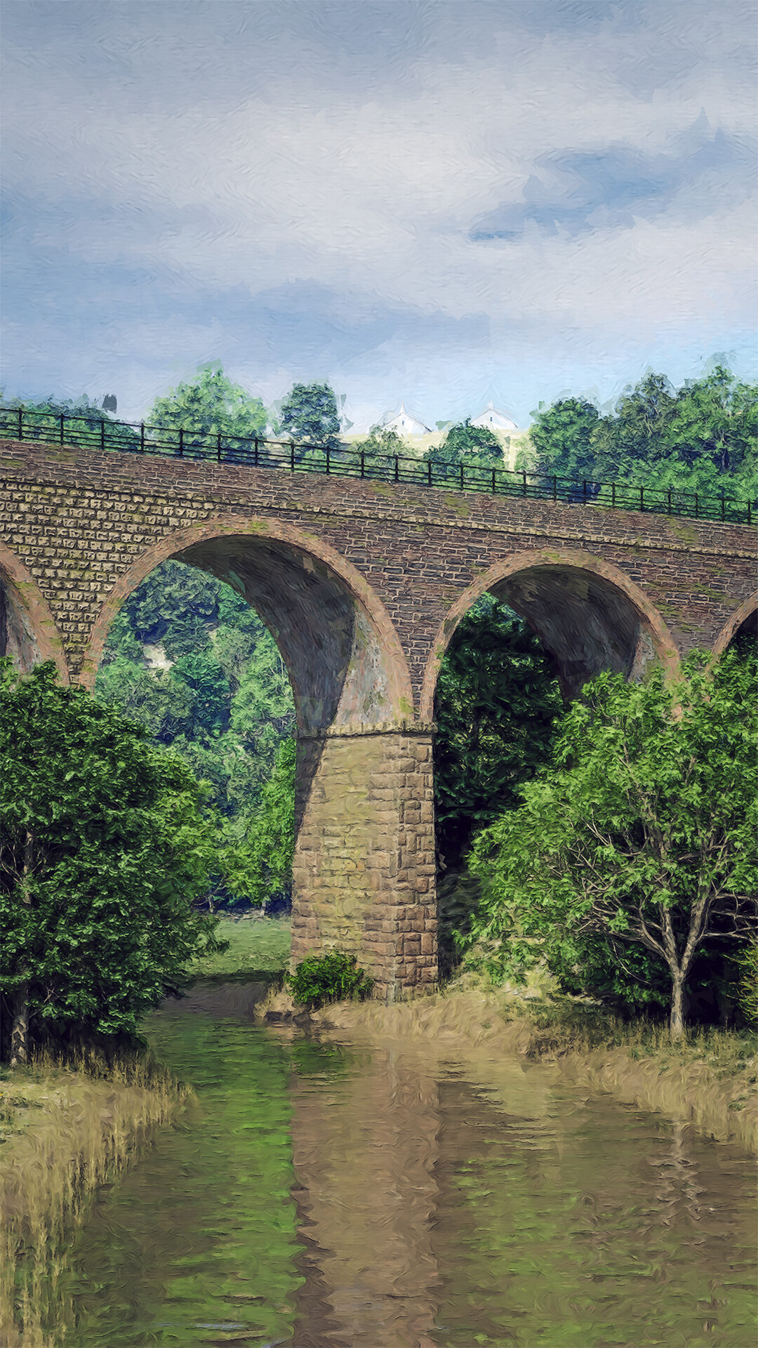
Another alternative painterly

Another angle painterly
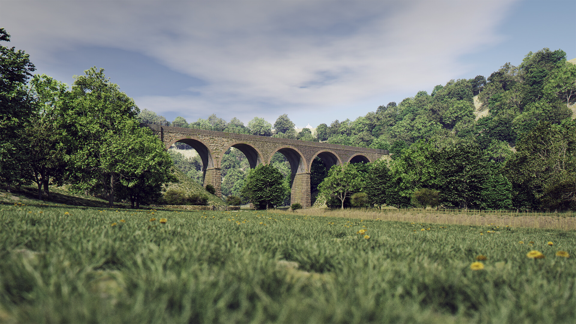
Another angle - normal render
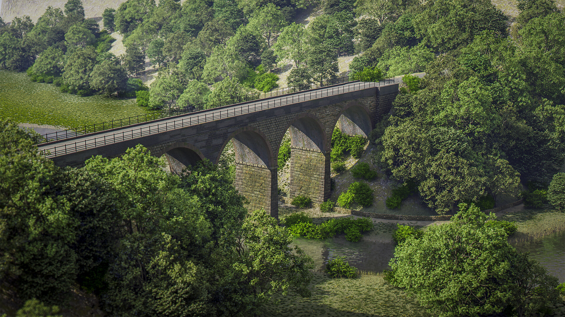
Another angle - normal render
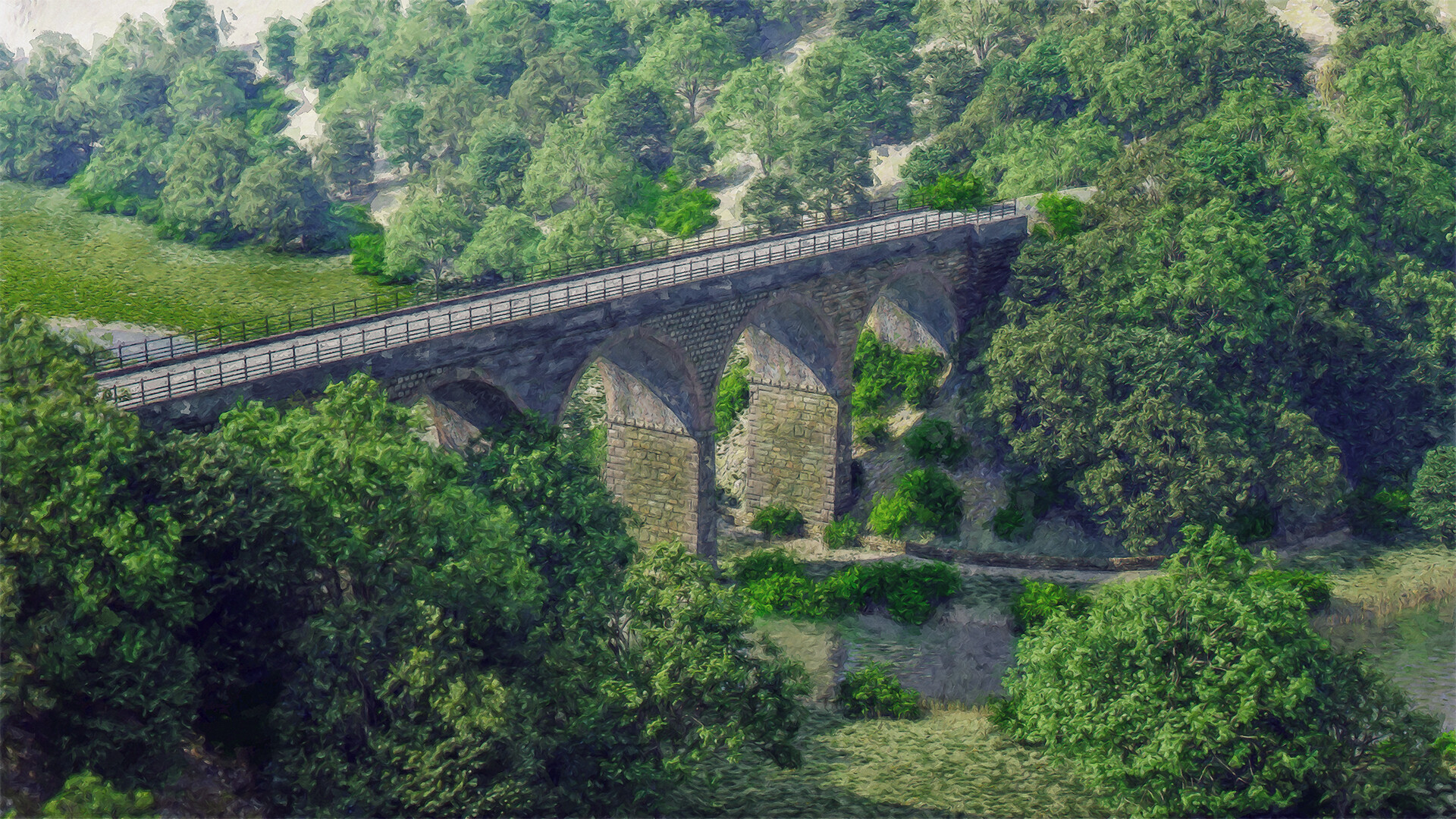
Another angle - painterly