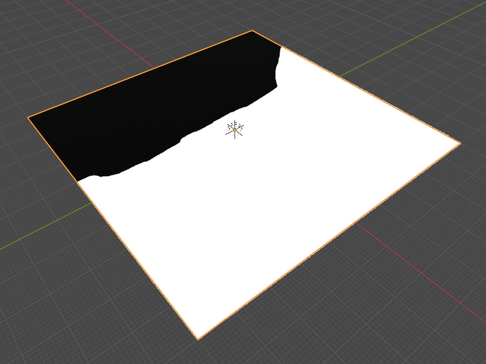
Can’t seem to get any combination of options to work to get a GeoTIFF to import properly throught the BlenderGIS options.
So far, I get what’s basically the same thing as if you open it in Photoshop:
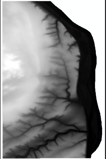
Here’s the thumbnail of part of the same geographic area:
My preference would be to be able to convert the GeoTIFF to pure grayscale so that I could edit it in Photoshop first, but still working on getting it into Blender.
Any suggestions appreciated.