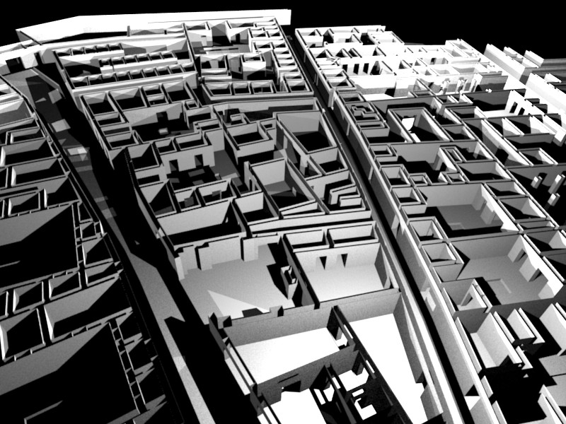
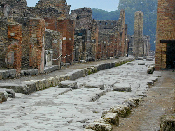
I’m working on a model of a portion of the city of Pompeii, as it might have looked the day before the Big One covered it in ashes. I have a two-fold goal here: the first (the “hobbyist” goal) is to create a top-down orthagonal map for use in a miniatures game for a friend. He has a digital projector, and will use it as part of his D&D campaign world. (Yes, D&D is still around, you game-boy-totin’ youngsters!![]() ) The second goal, after the first is achieved, is to create a portfolio piece, since I eventually want to do this sort of work professionally. Obviously, this is not a true mapping of the city as would be demanded by a scholar. I just don’t have access to that level of detailed info. This is more a proof-of-concept thing.
) The second goal, after the first is achieved, is to create a portfolio piece, since I eventually want to do this sort of work professionally. Obviously, this is not a true mapping of the city as would be demanded by a scholar. I just don’t have access to that level of detailed info. This is more a proof-of-concept thing.
I created a plan in AutoCAD from a .jpg image, exported the .dxf, and extruded. I’m in the process of filling in the floors and cutting the openings. After some detail work with doors and stairs, the next step is the UV mapping/texturing.
Not much to crit yet, of course, but I’ve started this WIP to keep me motivated. Thanks for any and all interest!
(And yes, I have heard of the LifePlus project, and wish I could be doing what they’re doing, let me tell ya!)

