Given:
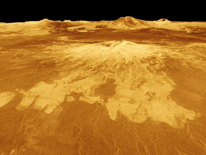
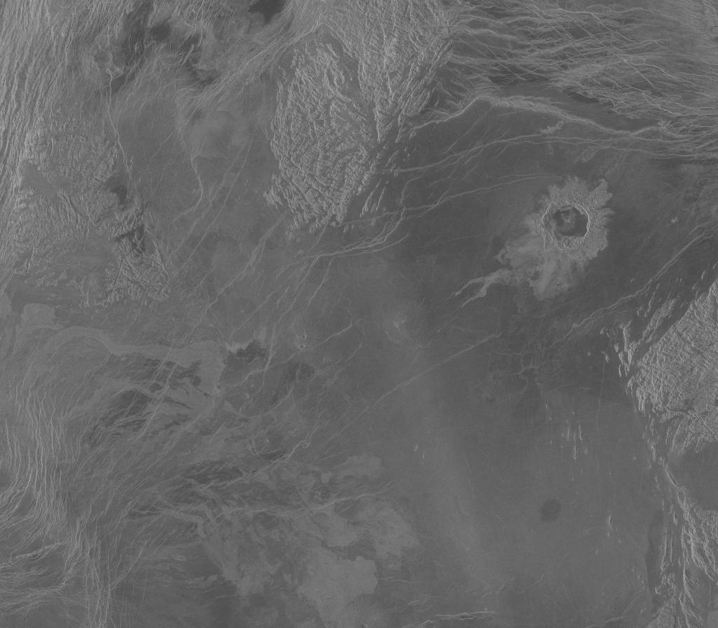
How would you reconstruct a surface flyby of Venus?
Here is what I thought:
-
Create a bump map using one of the JPEG images:
-
Create a heavily-divided plane in Blender.
-
Apply the JPEG as a normal map to the plane.
-
Simulate colours based on images returned from Soviet Venera 13 and 14.
Has anyone attempted such a task? Is there a better way to go about it?
I looked at using DEM data, then converting DEM to PPM/PNG, or converting DEM straight to OBJ, however that road looked riddled with problematic potholes.
Thank you!